August 15-19, 2024: Grand Teton National Park

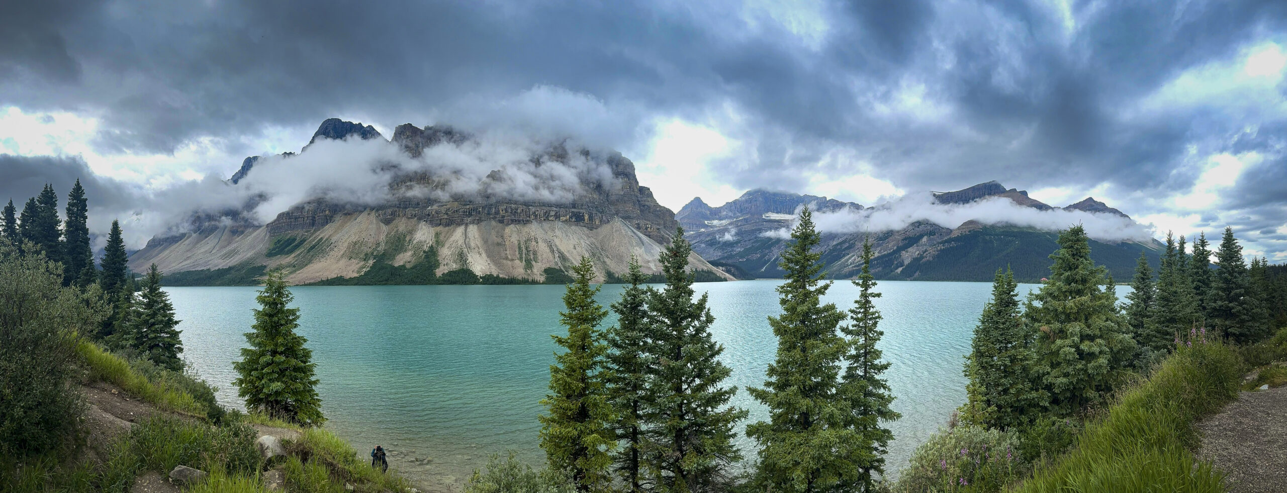
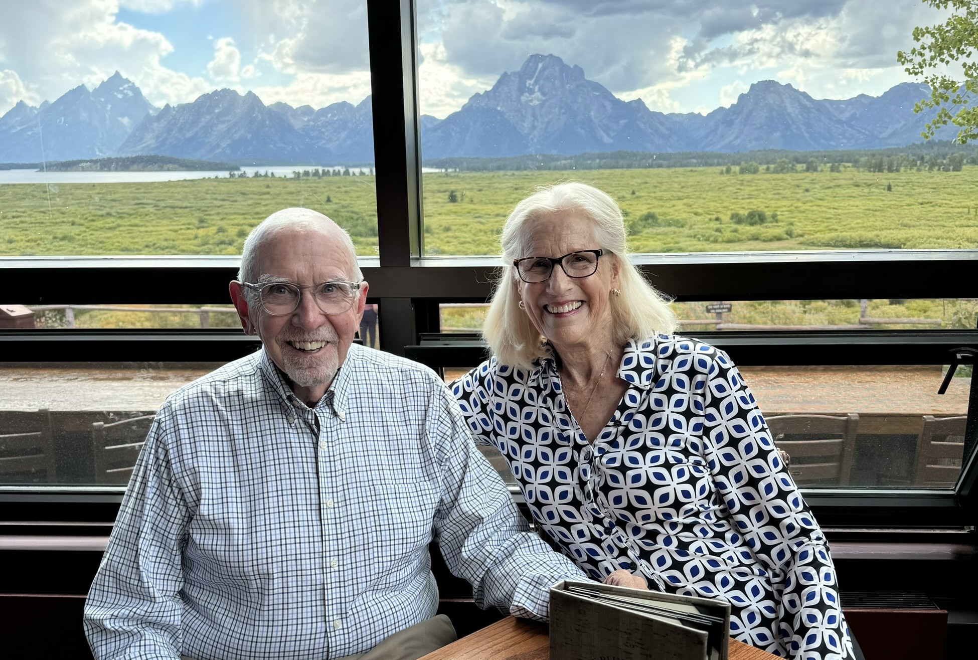
As we were driving in to Grand Teton National Park and getting our first views of the Teton Range in the distance, we both looked at each other and said, no kidding, “We’re home.” That pretty much sums up this visit.

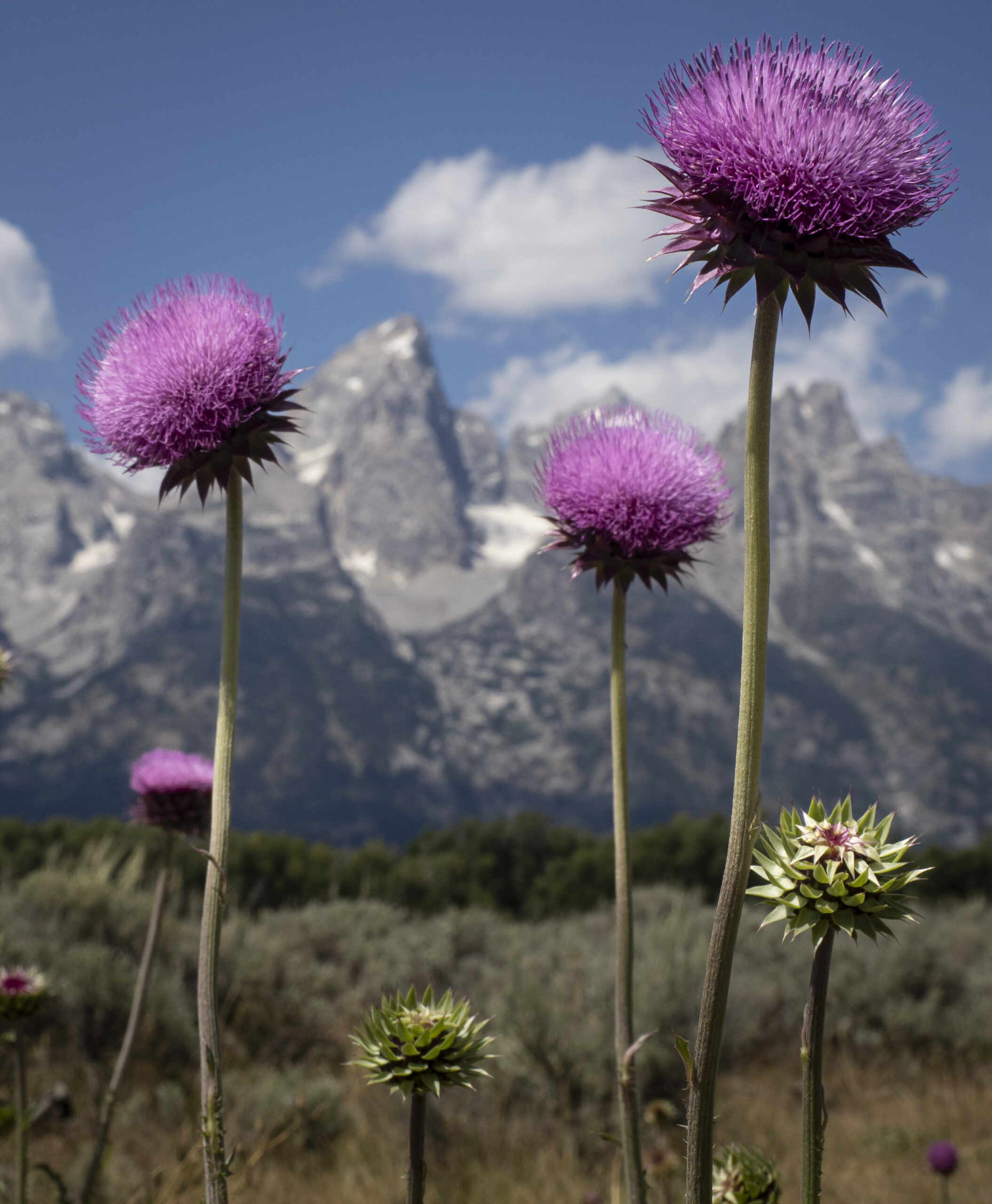
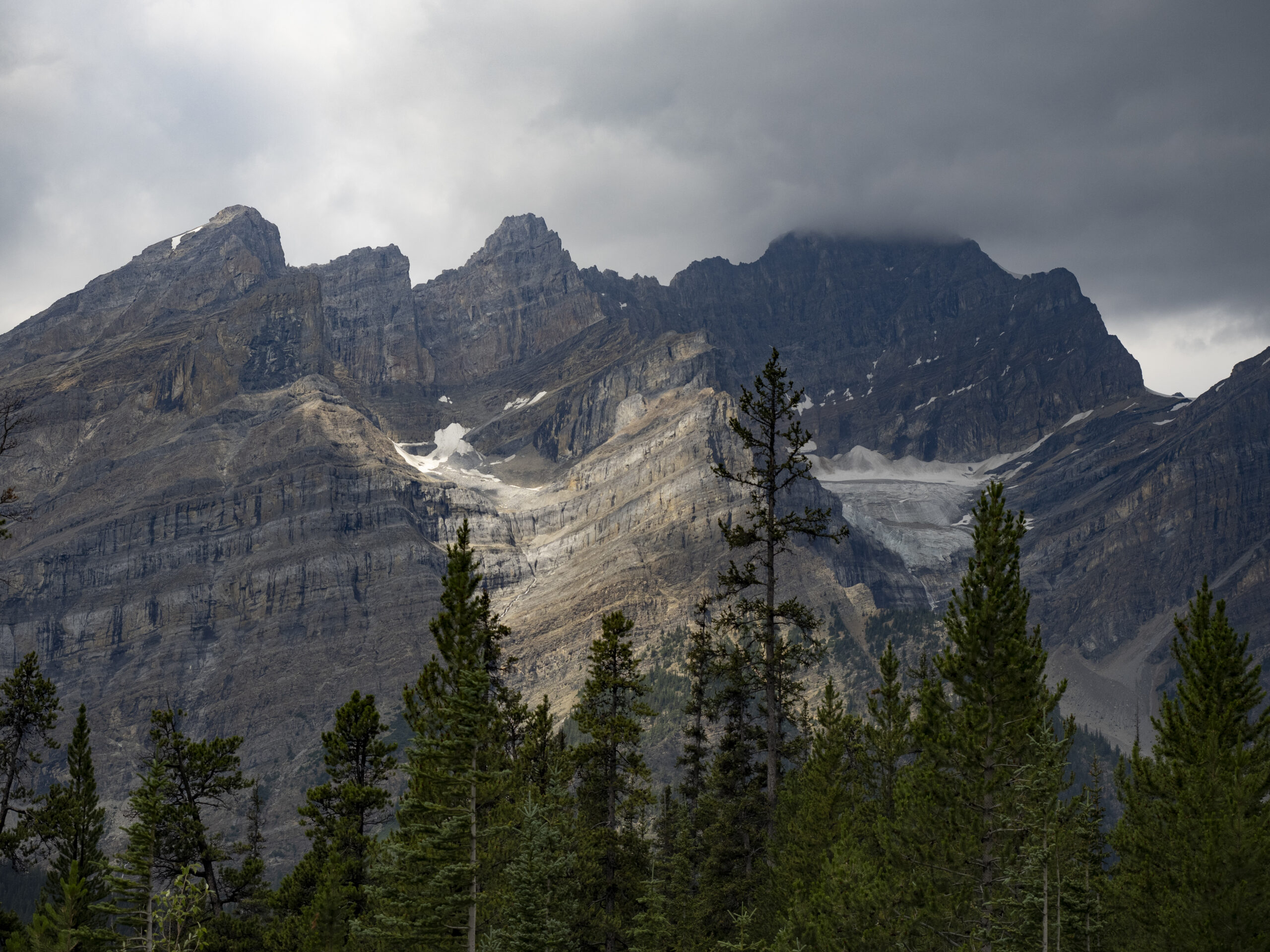
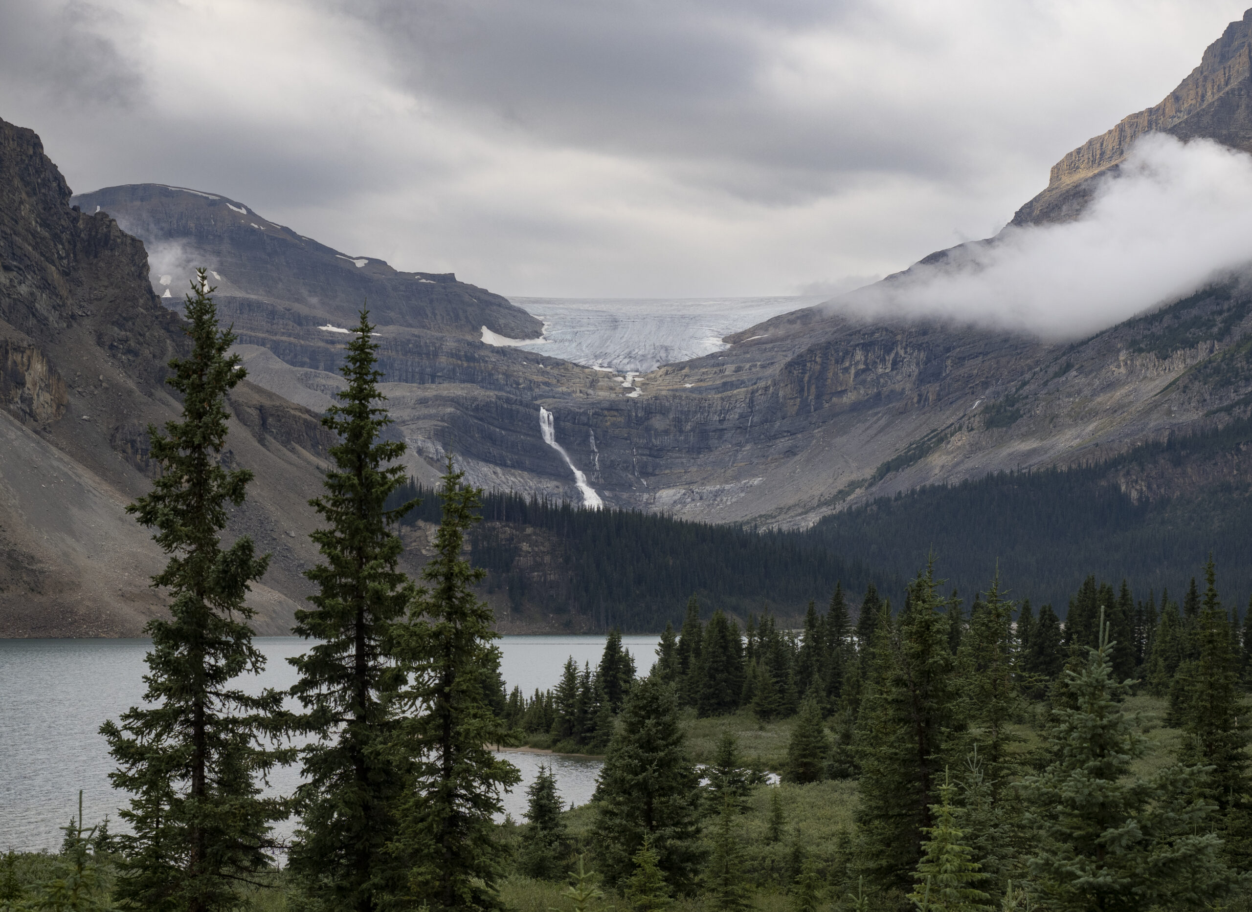
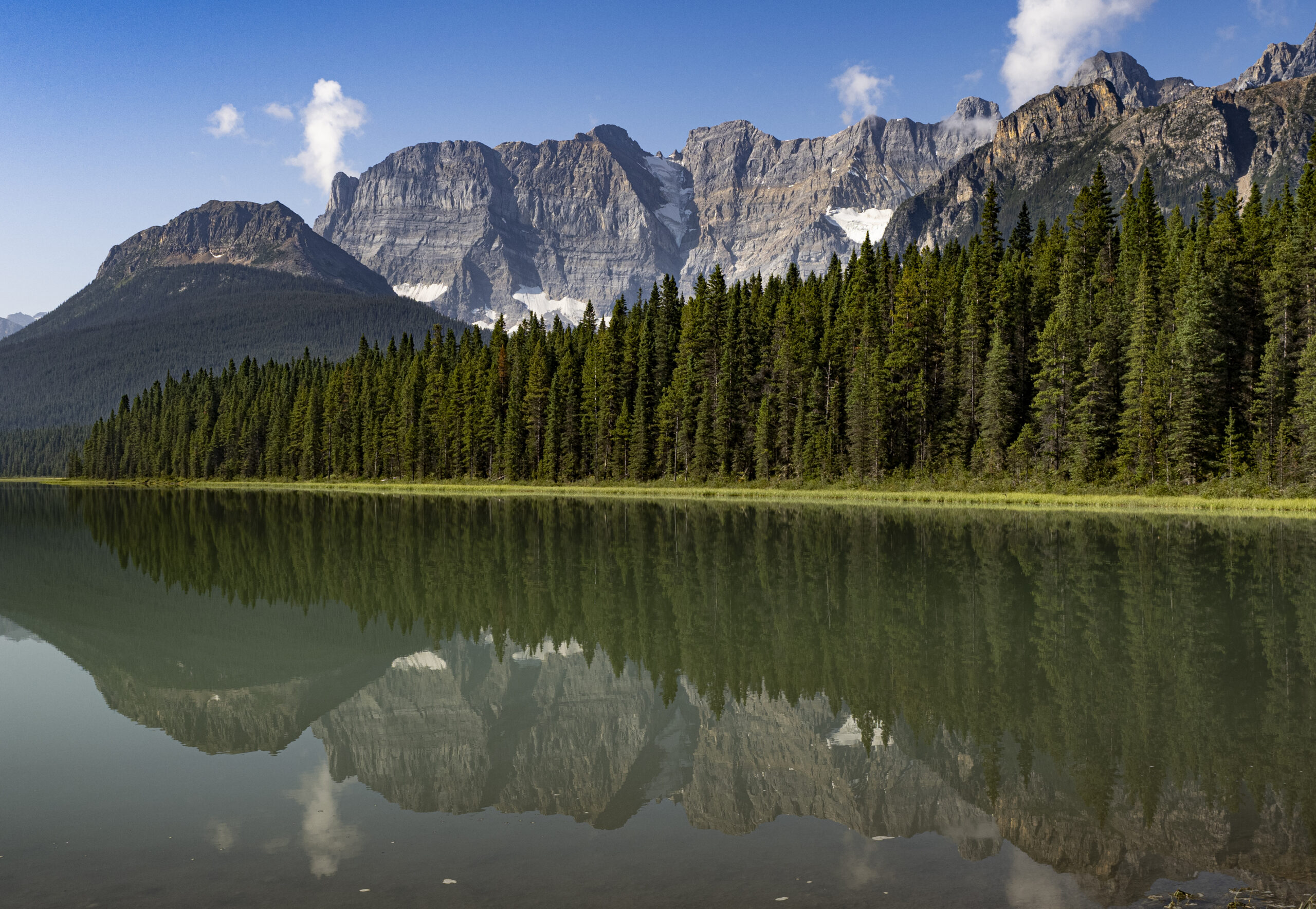
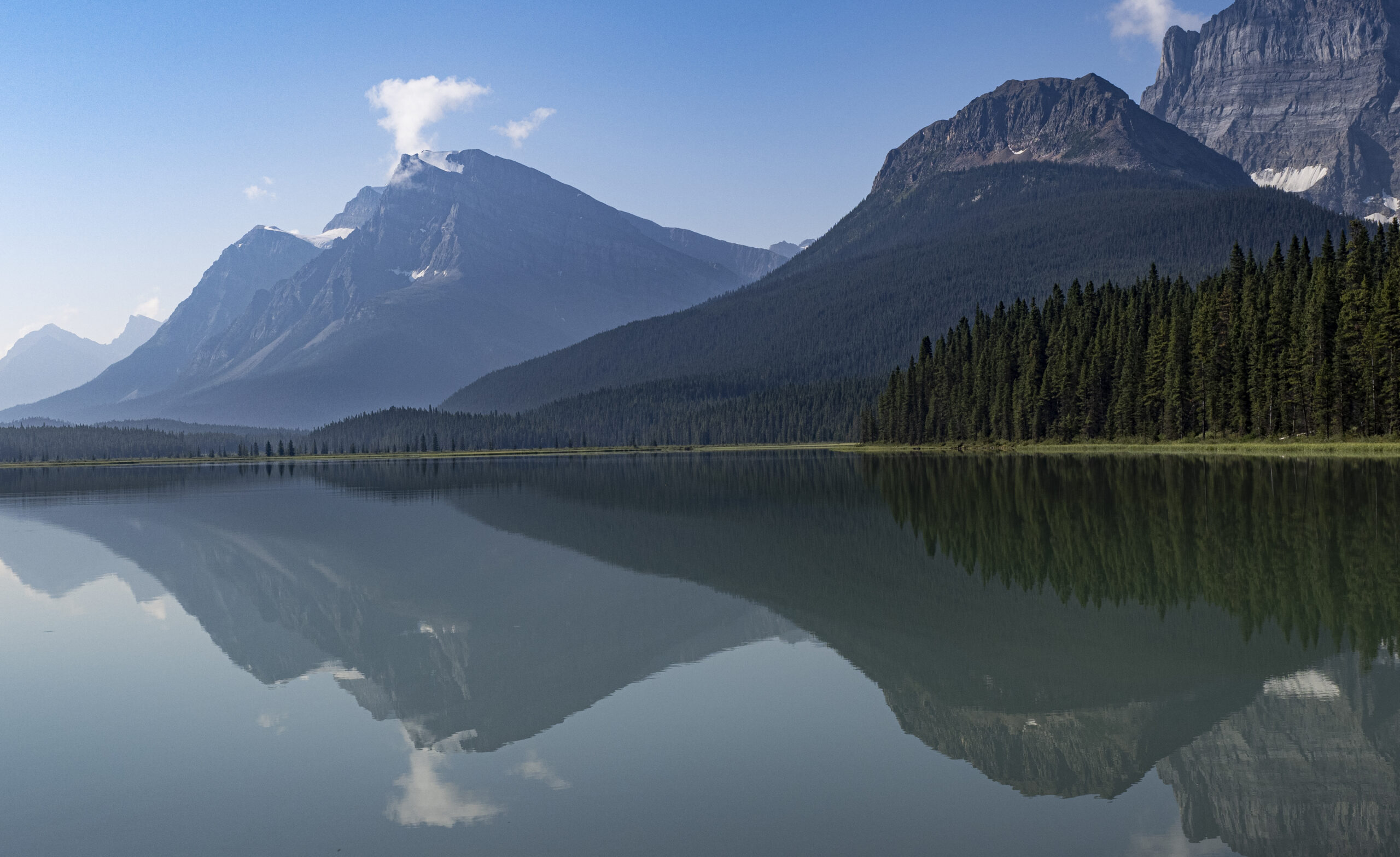
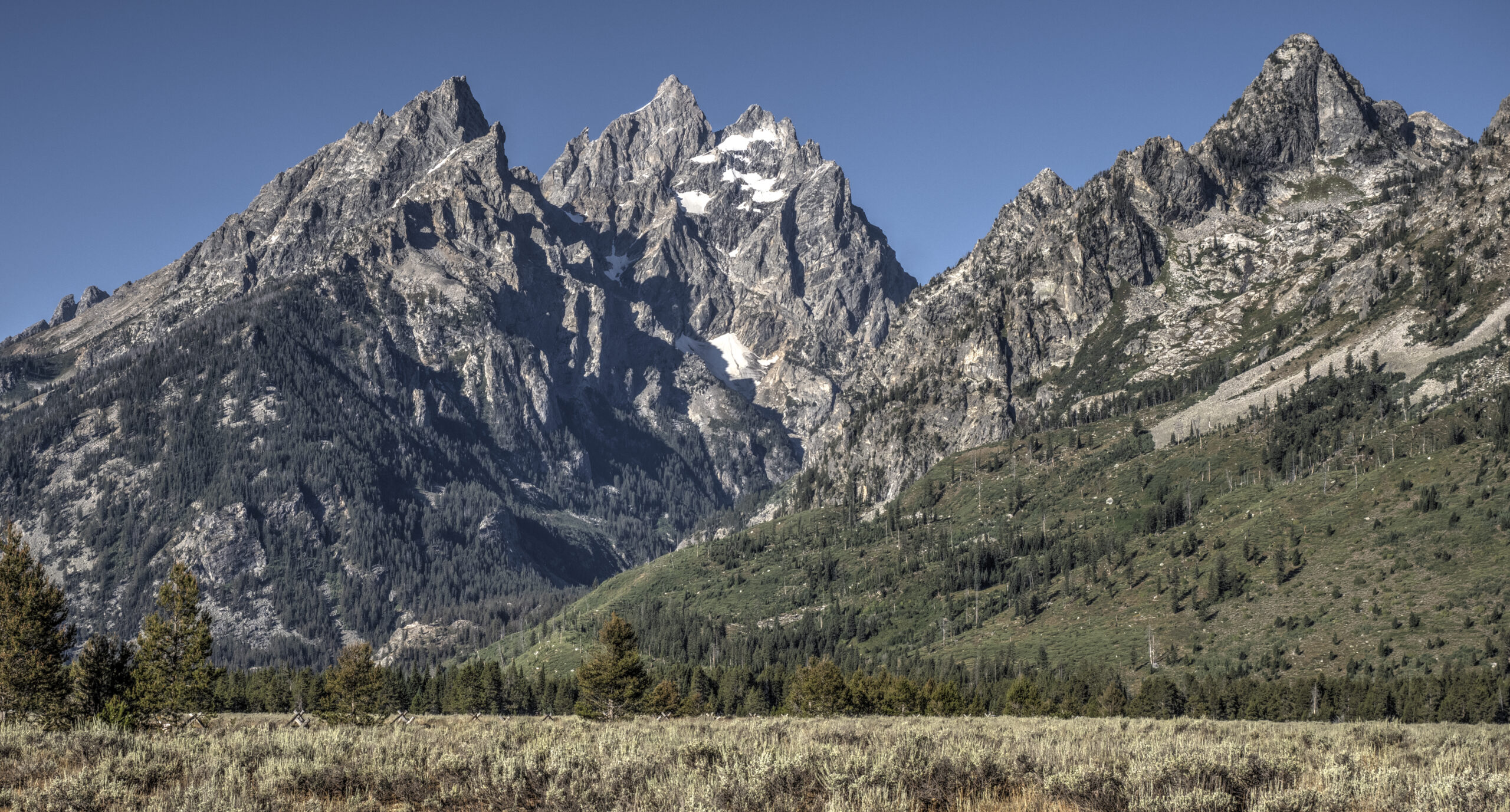
What precipitated that reaction was the drama that the Tetons present every time one first sees them. Although technically part of the Rocky Mountains, the Teton Range is much younger than the Rockies (10 million years versus 70 million) and gets its dramatic appearance from a unique geological situation: there’s a fault line that runs along the base of the range, and every few thousand years, there’s some seismic shift and the mountains get pushed up five to ten feet, the valley floor hinges down twenty to thirty feet, and presto-change-o, the mountains grow by 40-50 feet and loom even larger. Do that thousands of times and you get this:

An entire mountain range, lifted abruptly straight up 6000 feet from the valley floor.

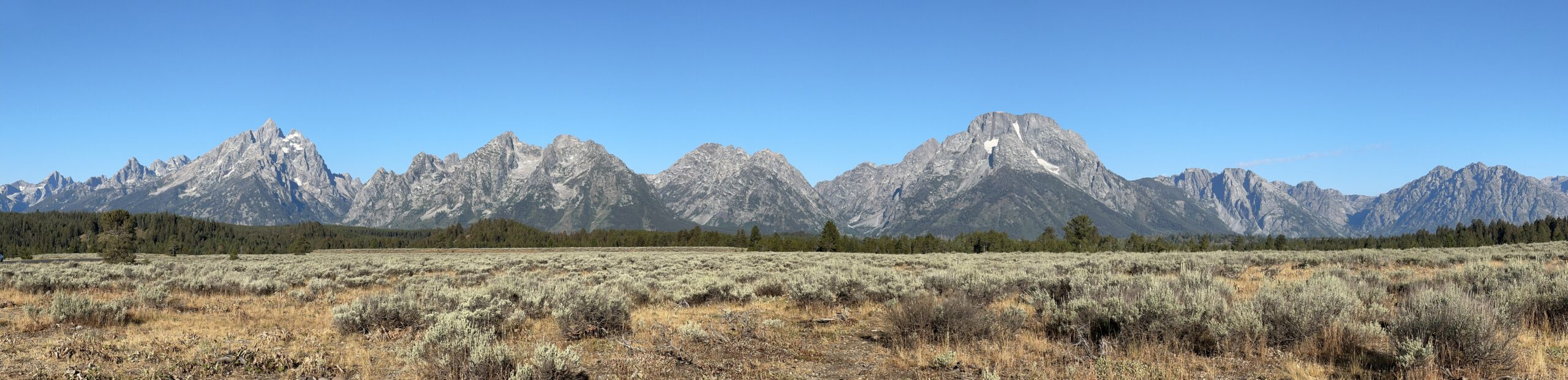
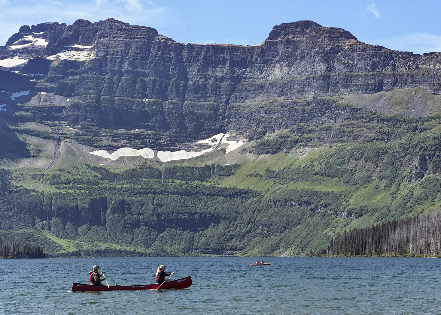
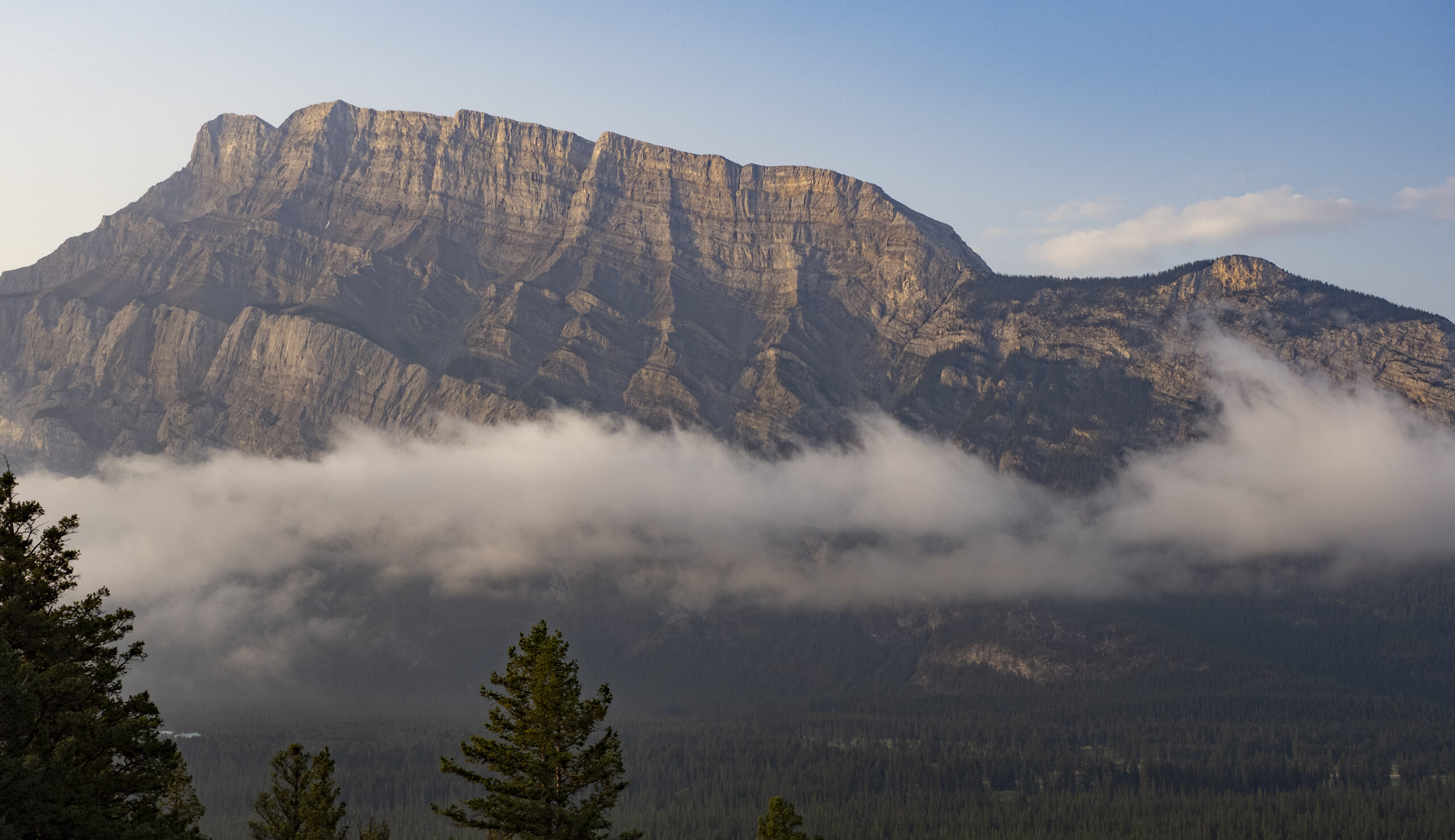
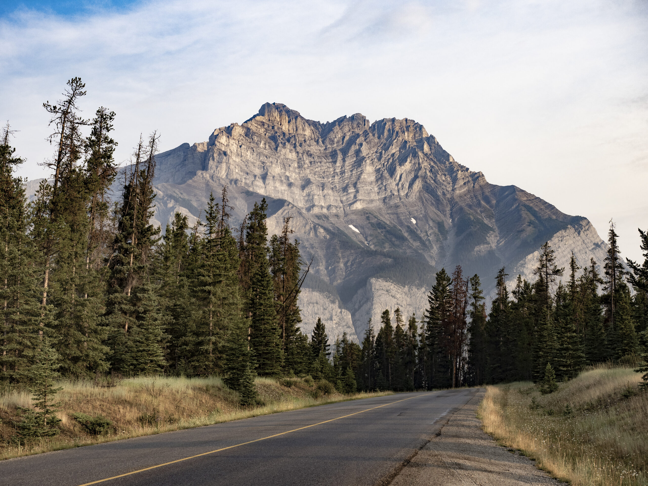
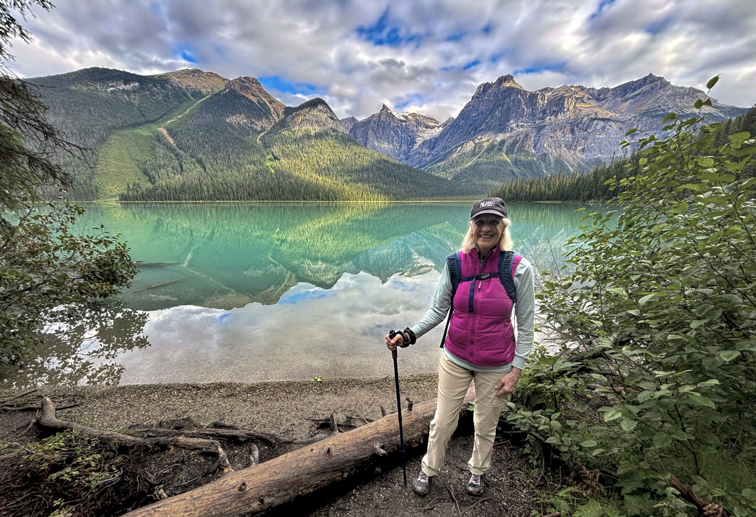
It’s just impossible to tire of this view. After half a dozen visits, and countless hours spent taking in this scene, as we are driving around the park we still stop at nearly every turn out and just stare at the vista. It’s irresistible.

The “Cathedral Group” as viewed from one of the turnouts. And yes, we stop here every time we drive by. How can anyone not pause at a place like this?

The other reasons this place is so compelling is the story behind it. The park itself was established in 1929, but included only the Teton Range. Commissioner Horace Albright quickly realized that the valley at the base of the range would quickly become overrun by commercial interests. So in 1930 he went to John D. Rockefeller and said something like, “I know you’ve already done so much for public lands, but if you could purchase some land here, we could preserve it forever.” Rockefeller agreed and asked Albright to put together a plan. Albright came up with a proposal that was about as much as he thought he could possibly ask for and came back, hat in hand, and said, “I know this is a lot to ask, but if there’s any way you could do this …” To which Rockefeller responded, “Mr. Albright, you misunderstood. I want to know how much it would cost to buy the entire valley.” By 1943, much of the Jackson Hole valley had been purchased and donated to the public and became the Jackson Hole National Monument. In 1950, the national monument was abolished and the land transferred to Grand Teton National Park.

And, as Albright feared, the area of Jackson Hole outside of the park, like the town of Jackson itself, became a pit of vulgar commercialism and exorbitant development. According to a recent Wall Street Journal article, the median price of a home in Jackson is now $4.5 million. But the 310,000 acres of Grand Teton remain now just as they were in the 1930s, and an invaluable gift to the American people.

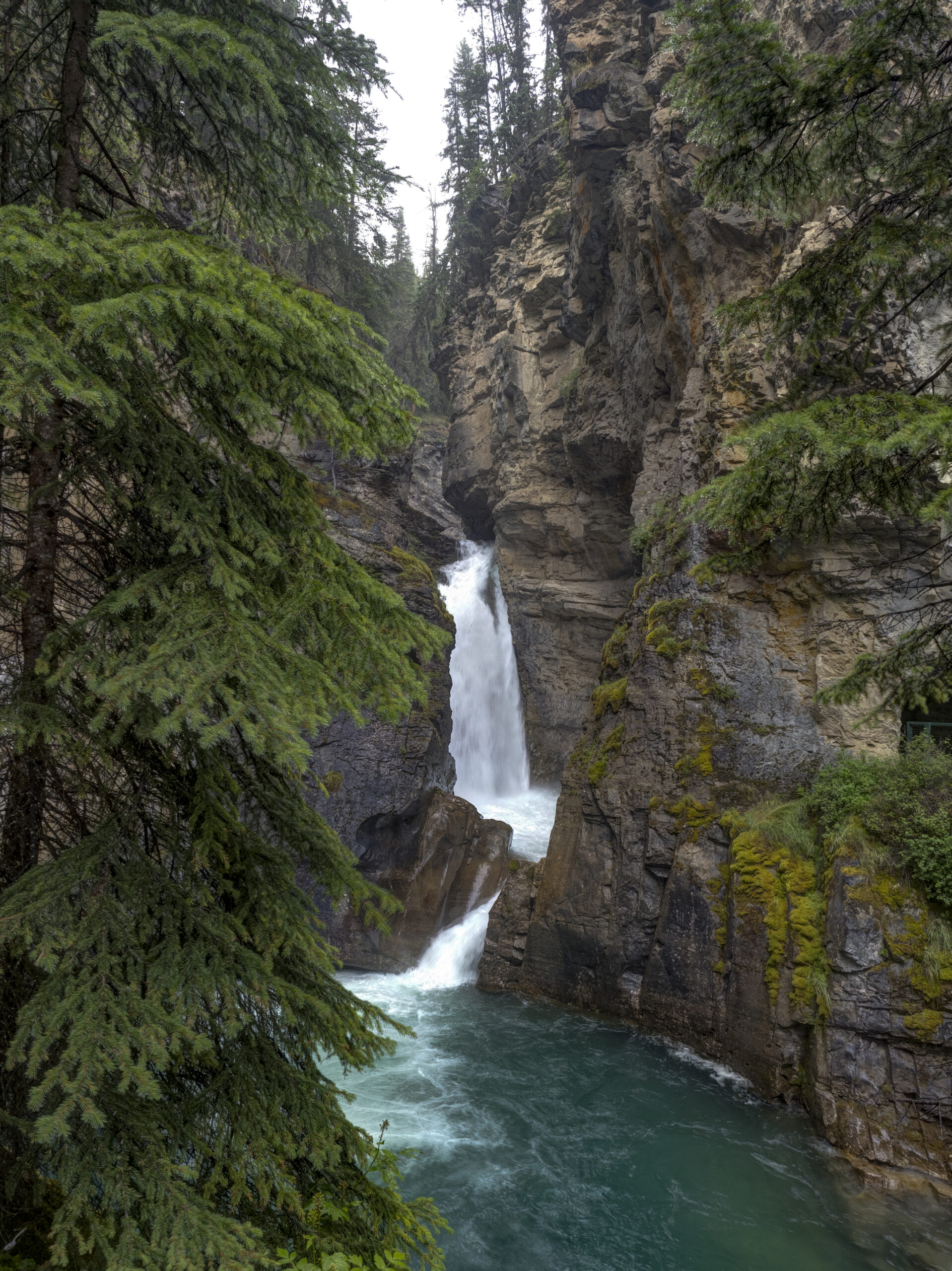
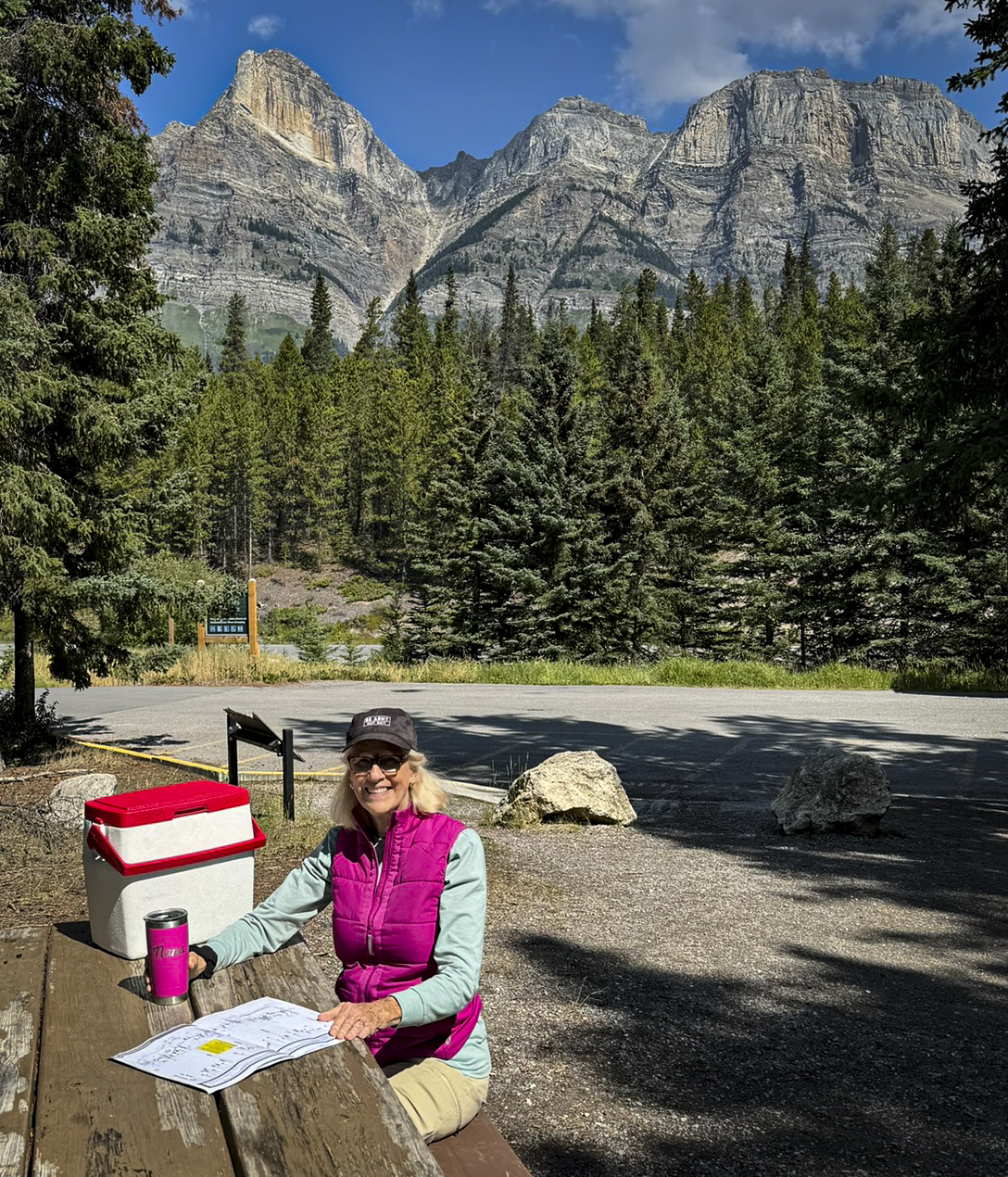
As usual, there’s so much to do and see in the park that we always seem to find something we’ve never done before. As one example, rangers from the Jenny Lake Ranger Station conduct daily guided hikes to nearby Moose Lakes. Surprisingly, we’d never hiked to Moose Lakes before. What does one see at Moose Lakes?

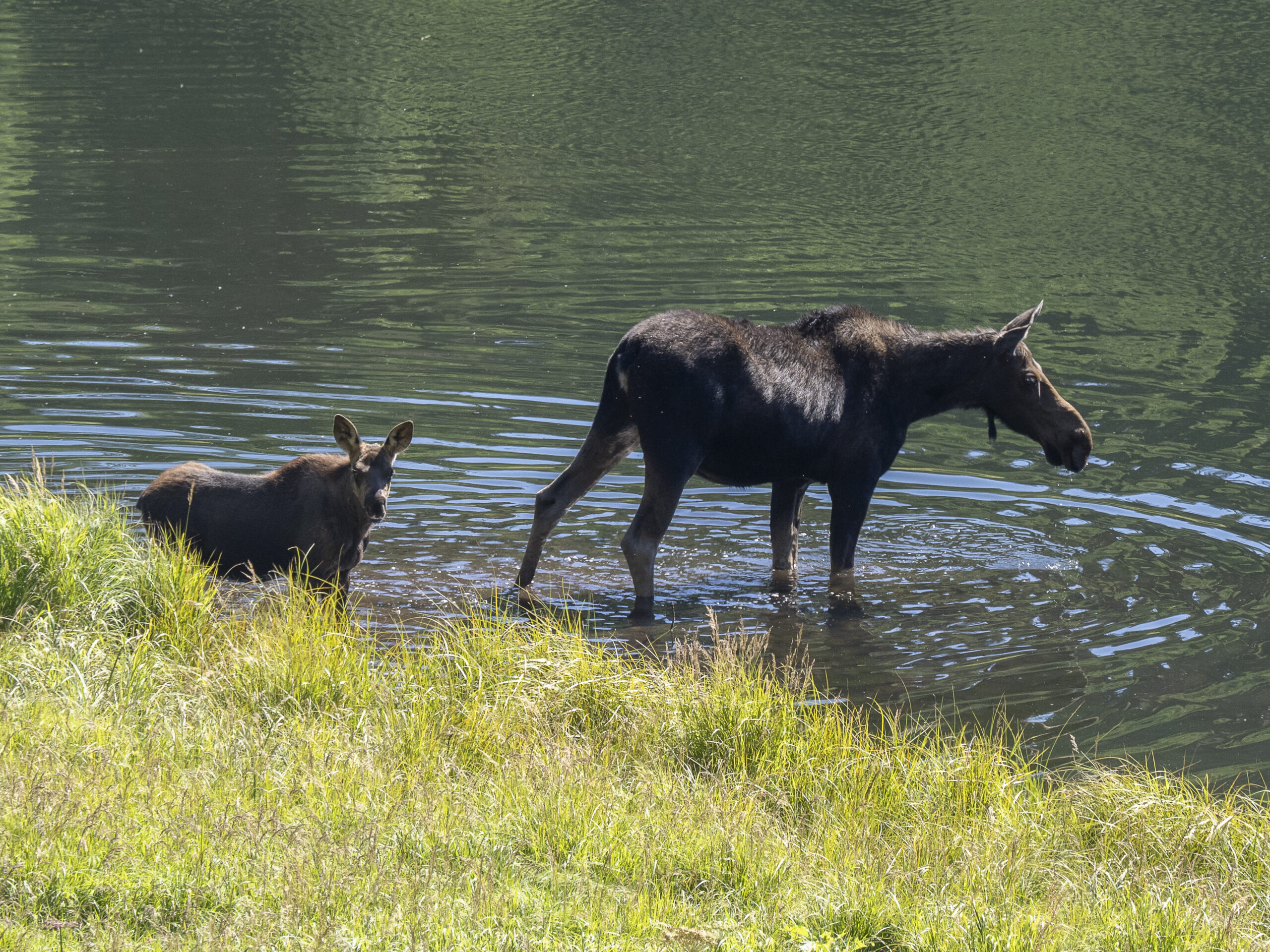
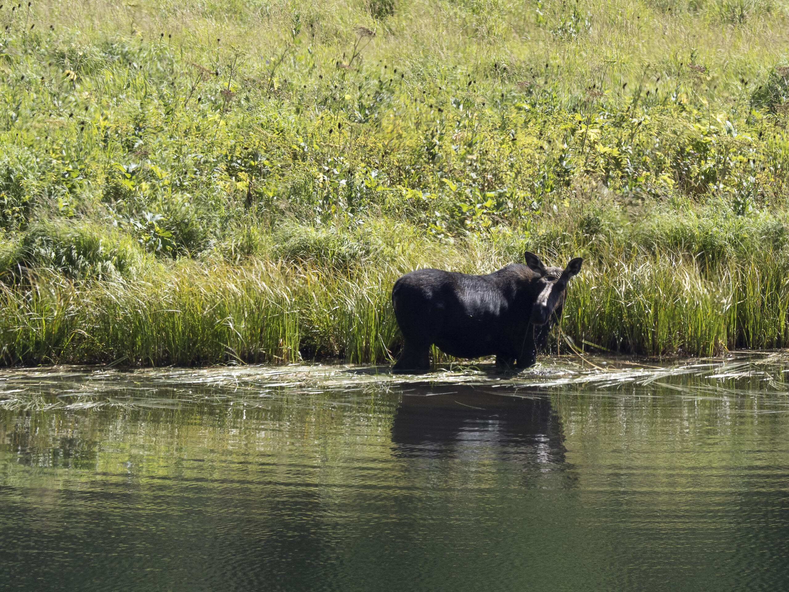
At one point, the cow moose swam off leaving the young calf on his own. When we asked the ranger if the calf was in danger, he explained that a full-grown moose can run at 40 mph and pretty much stomp to death anything that gets near the calf, including bears and stupid tourists.

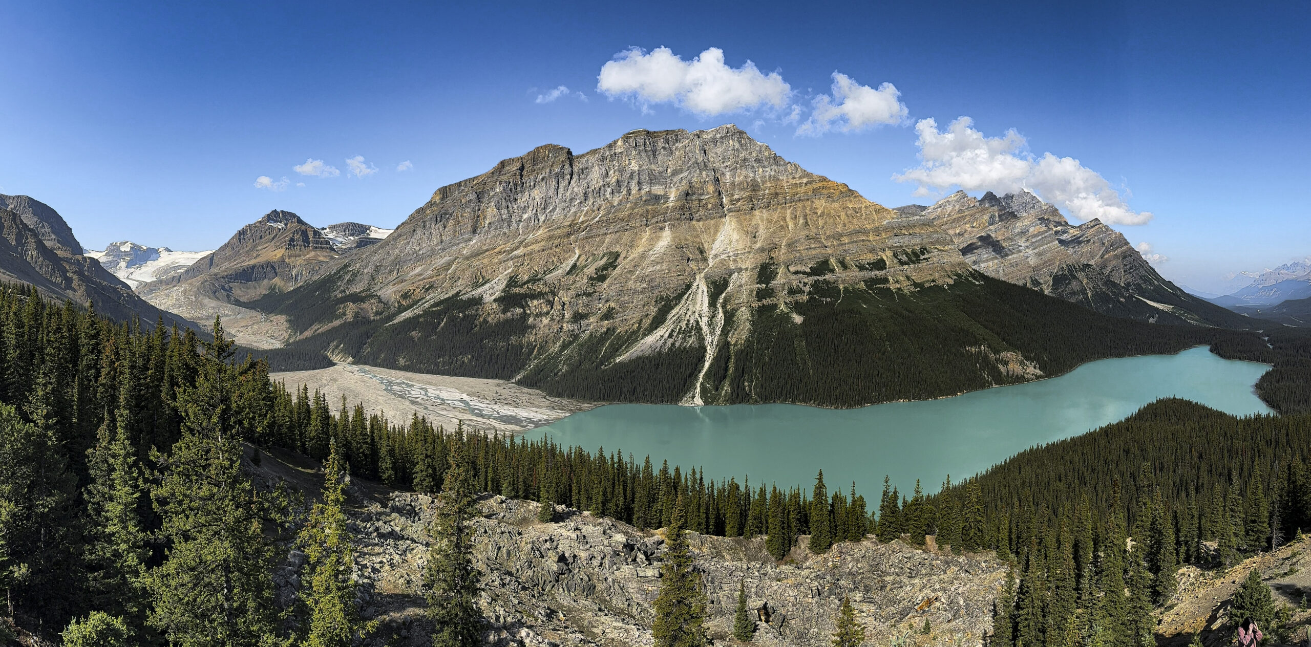
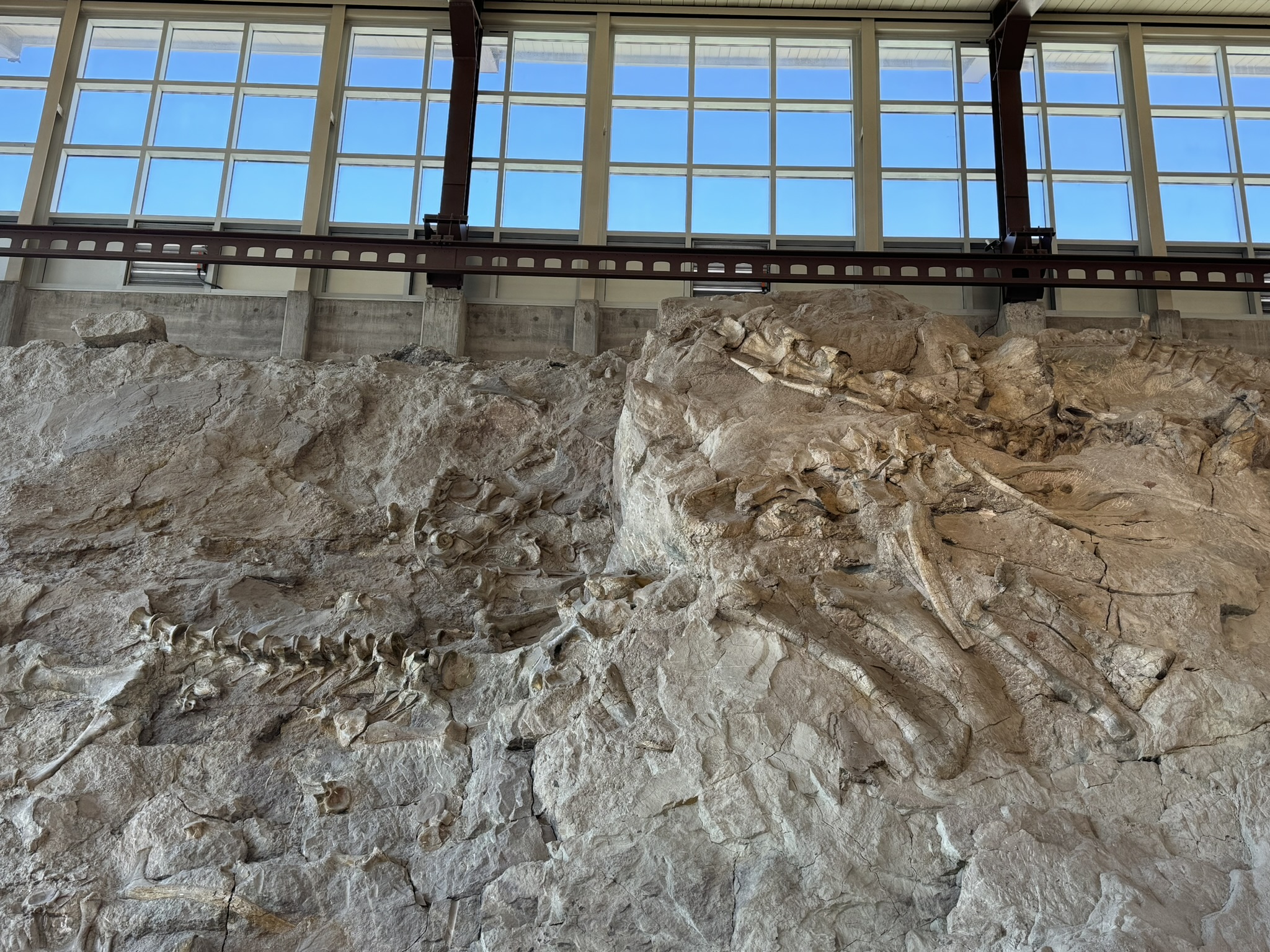
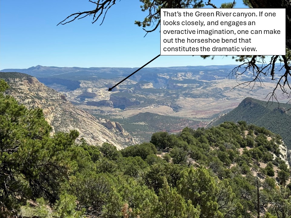
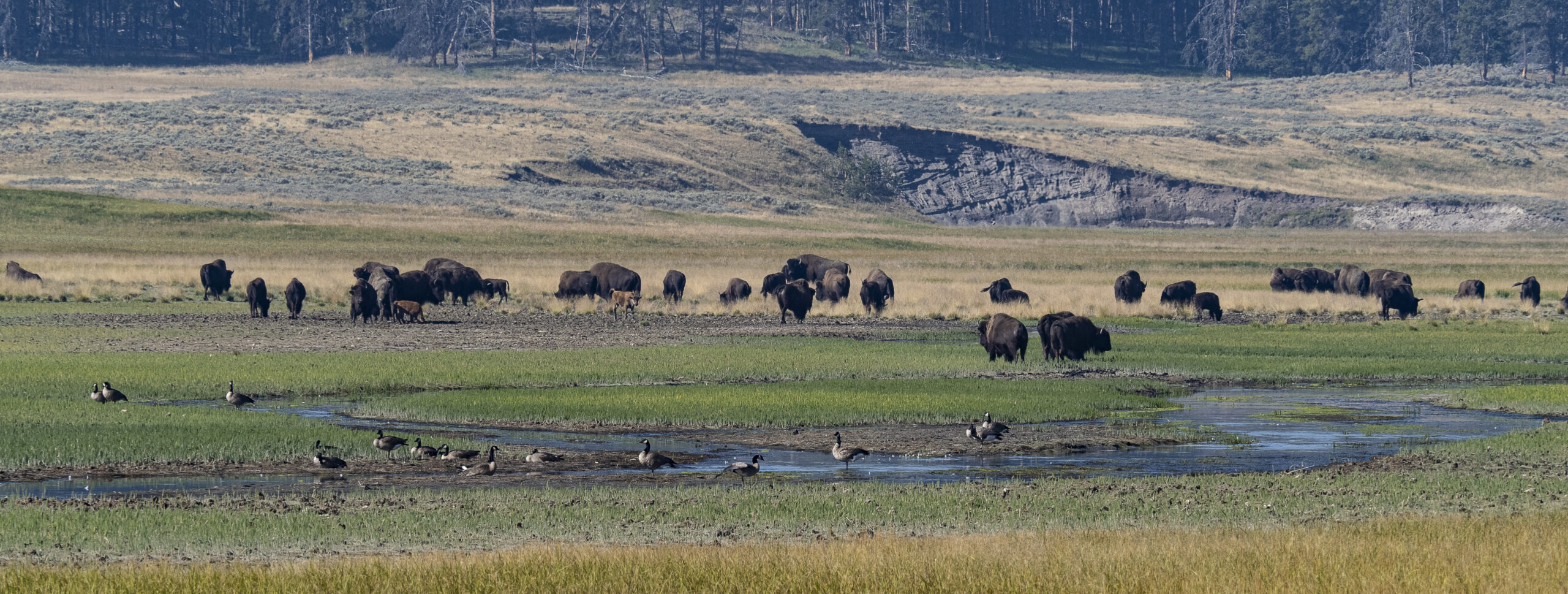
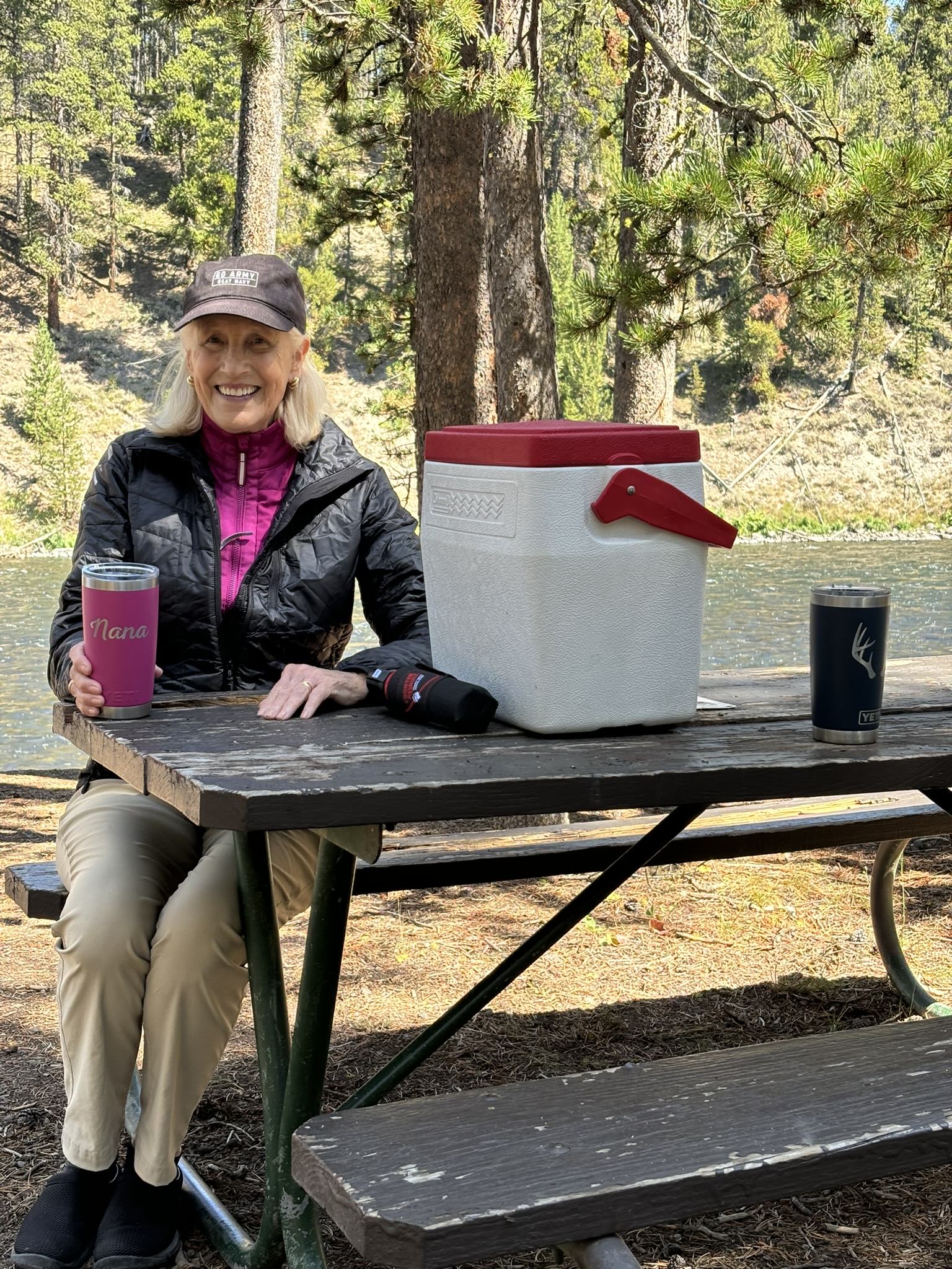
We did take a day to drive up to Yellowstone. The bison, of course, clogged up traffic in the Hayden Valley:

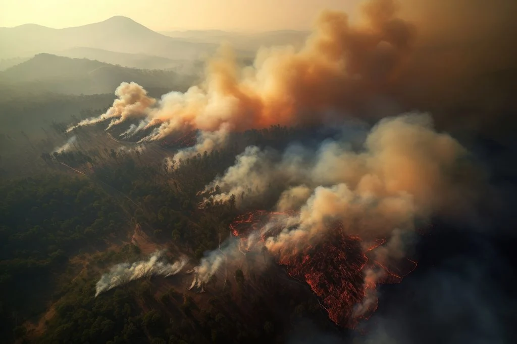
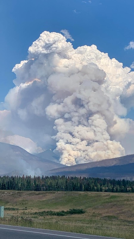
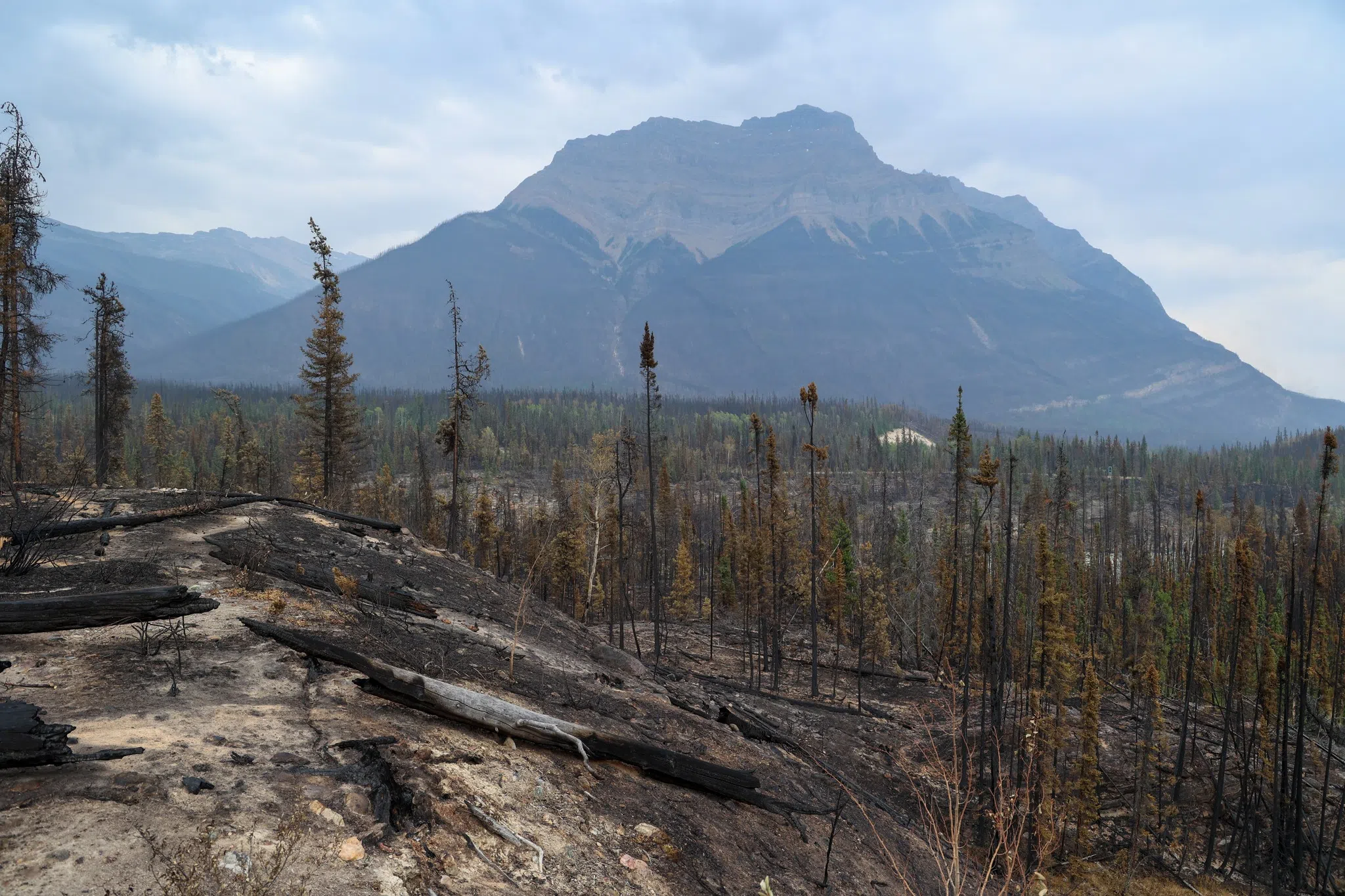
And we spent several fascinating hours studying displays on the 1988 fires, “the year that Yellowstone burned.” We were there that summer, but even though we could plainly see fires burning seemingly everywhere, we failed to appreciate the extent of the burn until we spent time at this exhibit.

By the end of the summer in 1988, ten separate fires had ravaged over one-half of the park.

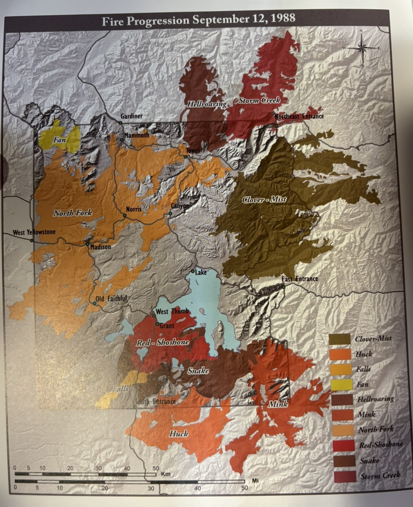
Part of the reason for the extensive damage was that the Park Service, along with most federal and state agencies, had followed a practice of suppressing small fires. The effect of that was a buildup of a hundred years of fuel, so when the fires started, it was a well-fed conflagration. The Park Service now recognizes that small fires are part of a natural, healthy forest and allows smaller fires to burn themselves out, especially in remote areas, and actively fights fires only as necessary. Even still, 36 years after we were there in 1988, fire damage is still readily apparent. According to the rangers, it will take roughly 100 years for the forest to recover to the point like it was.

Another half-day trip took us down to the National Elk Refuge, just north of Jackson. No elk (they’re up at higher altitudes during the summer), but during the winter there will be 5000 elk, plus bison, plus pronghorn antelope, on the refuge, but many more in the surrounding areas. I did offer to bring my rifle out and help solve the “elk problem.” There actually are managed hunts on the reserve, with spots allocated by lottery.

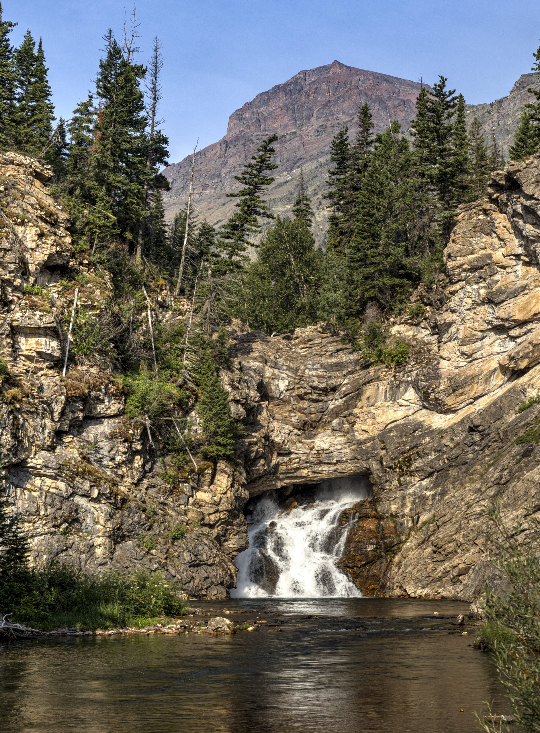
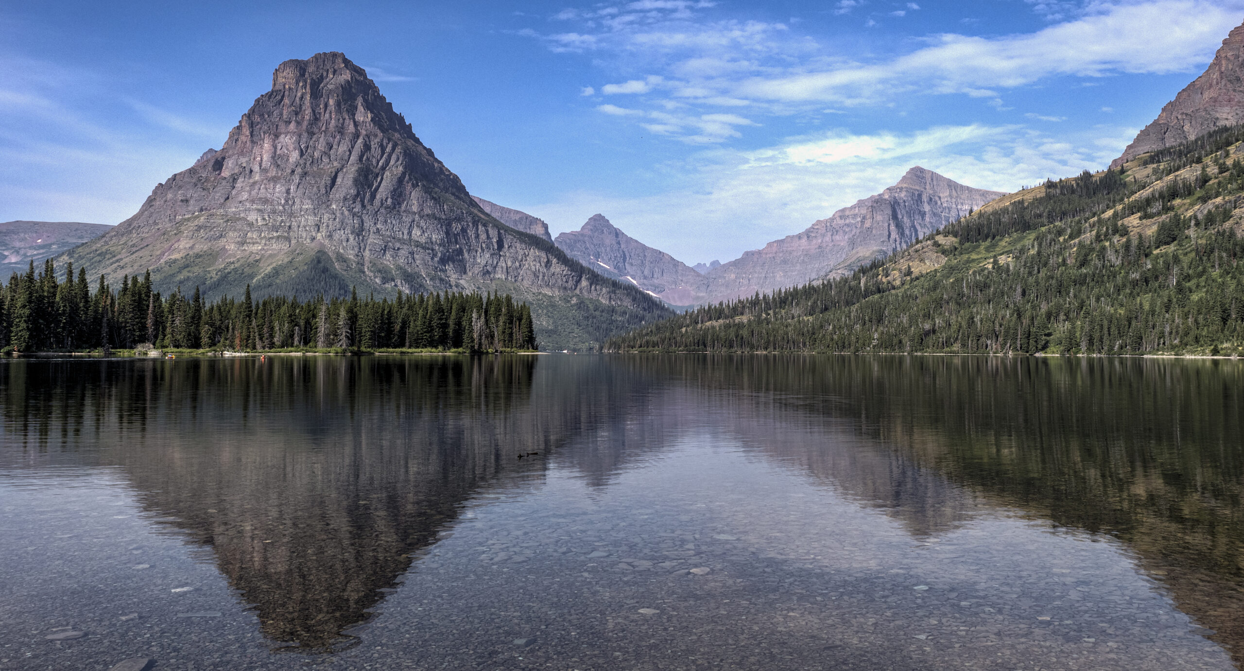
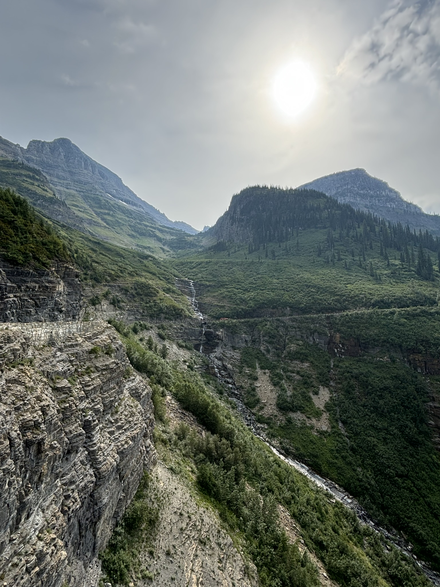
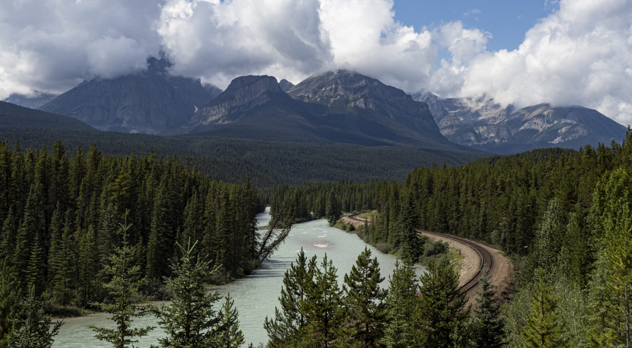
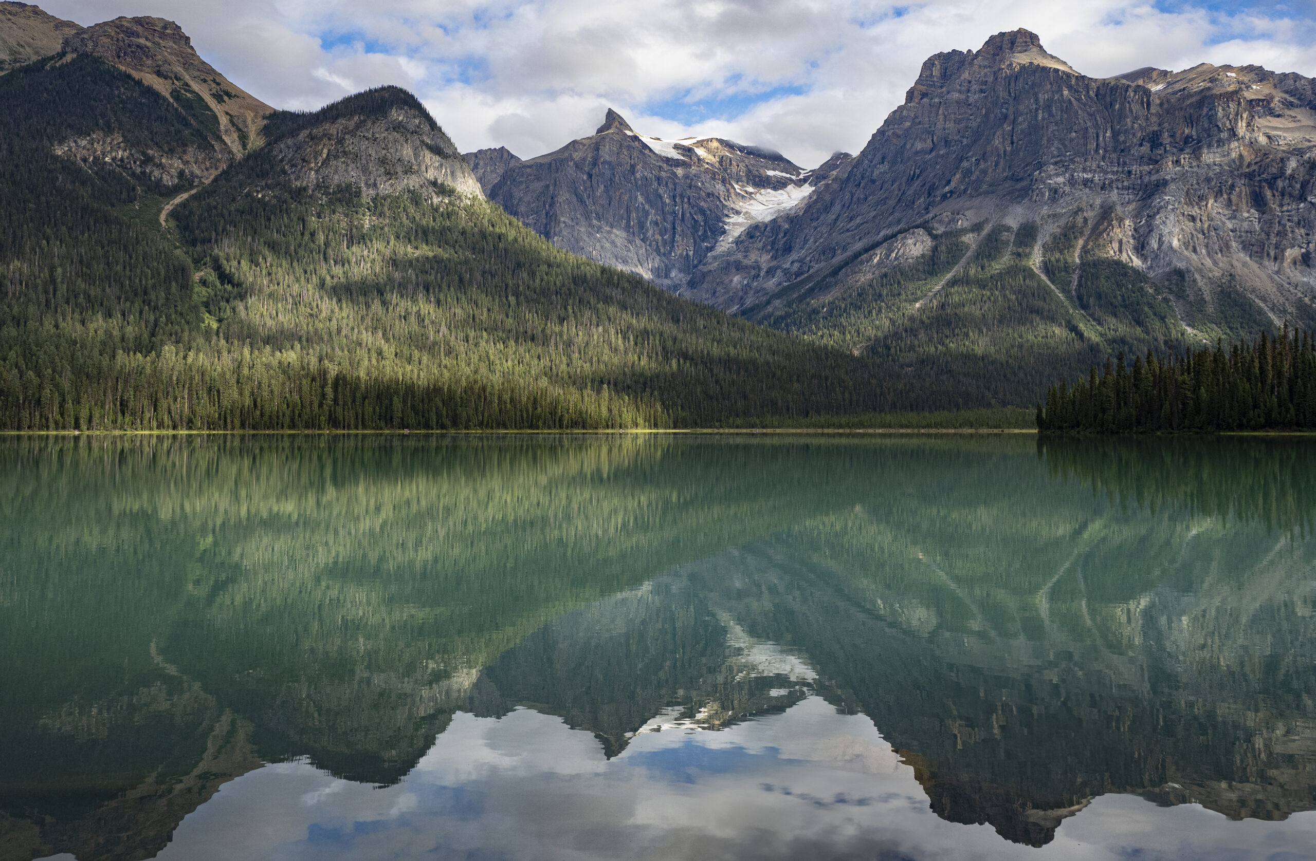
And otherwise, it was just hiking, sightseeing, and enjoying the unspeakable beauty of the national park. We’re already planning another trip out west, and of course it will include days in Grand Teton.

August 9-13, 2024: Glacier National Park

The tragedy that unfolded at Jasper National Park gave us an additional three days in Glacier, one of our favorite places from our 2016 trip out west.

This version, though, was slightly different. We were staying on the east side of the park, which is not as commonly visited as the west side, and indeed we didn’t explore the east side at all on our first trip. So, first day here found us off to the Two Medicine area in the southeast corner of the park.

Running Eagle Falls, named after Pitamakan (or “Running Eagle”), the only female warrior of the Blackfeet tribe (having led many “successful” war parties (I think that means she killed, scalped, and/or mutilated a lot of settlers)) and the only woman in that tribe given a man’s name.

Two Medicine Lake is scenic, although frankly not as dramatic as what one sees on the Going to the Sun Road.

Speaking of the Going to the Sun Road, we revisited that drive and yes, it’s just as good no matter how many times one does it:

The highlight of the eastern side of the park, though, came when an impulse hit Wendy to drive back into Canada to visit Waterton National Park, the other half of what is Glacier-Waterton International Peace Park. And the highlight of that highlight was Cameron Lake:

The thing about Glacier National Park, though, is glaciers. Specifically, the vanishing glaciers. The National Park Service is completely exercised about the state of glaciers in the park and, by implication, the issue of climate change. “Losing the park’s glaciers could be a lesson about the significance of global warming.” On one display, NPS says Glacier’s glaciers will be gone by 2030.

The issue of global warming is so mixed up with politics and dubious science that it’s hard to know what to make of the current hysteria, especially for those of us for whom this is number 12 (by actual count) of the end-of-life-as-we-know-it scenarios we’ve already lived through (starting with nuclear annihilation in the 1960s, the population bomb in the 1970s, the depletion of oil in the 1980s, a “China syndrome” nuclear winter, etc. etc. etc.). Furthermore, many of the dire projections about global warming, including even disappearing glaciers, have been strikingly inaccurate. Recall, in 2006, Al Gore presented us with an “inconvenient truth”: “Within the decade, there will be no more snows of Kilimanjaro.” Wrong. Turns out that wasn’t an inconvenient truth so much as a convenient falsehood.

Even still, it is apparent that earth began warming in the 1850s, and that warming continues to this day, and that anthropogenic emissions of greenhouse gases have contributed to that warming. And it is true that global warming has consequences, including some that may be only aesthetically important, but are significant anyway. Like vanishing glaciers. There has been a visible, measurable decrease in the size and extent of glaciers in Glacier National Park. The real questions, though, like what fraction of current warming is due to human causes, how consequential is that warming, what we can and should do about it, the costs versus the benefits of response options, are not only beyond what can intelligently discussed here, they seem to be beyond what can be intelligently discussed anywhere.

So, in the meantime, Glacier National Park was well worth the visit. And I’m sure we’ll be back, glaciers or not.

August 4-8, 2024: Canadian Rockies

As mentioned, our planned trip to Banff and Jasper National Parks took a turn for the worse when wildfires broke out and Jasper National Park and a large portion of the Icefields Parkway were closed (to say nothing of the devastation that hit the city of Jasper). We decided to stick it out and at least visit Banff National Park, and the question was how well that would work out.

The visit was exceptional. In fact, this area of the Canadian Rockies may have supplanted Grand Teton National Park as our favorite place on earth. In fact, in fact, we decided that four days here wasn’t nearly enough and we’re toying with the idea of coming back again next year for two weeks.

Our enthusiasm is a little surprising since the trip did not start out all that well. Assuming we could use our standard M.O., we decided to pop on over to the Banff National Park Visitor Center. Except the visitor center isn’t in Banff National Park, it’s in downtown Banff and one doesn’t “pop over” to it. We tried to drive there, got parked in slow-moving traffic for an hour, not surprisingly since there’s nowhere else to park, gave up, came back to the campground, took a shuttle bus back to downtown, only to find that the visitor center isn’t a “visitor center” like we’re used to but instead a counter with a few mostly unhelpful staffers and essentially no maps, no trail guides, no recommendations, and little value to the visit. And all of that was made worse by the fact that the town of Banff is like Jackson, Wyoming, or any other “resort” destination in a “scenic” location: block after block of trendy bars and restaurants with streets jammed elbow-to-elbow with mostly foreign tourists.

Good grief. Jasper is closed, most of the Icefields Parkway is closed, we’re on our own to figure things out, and we’re wondering … what to do, what to do?

We needn’t have worried. This whole area is breathtaking. Pretty much just follow your nose and you’ll be fine.

Getting up on the first morning, this was the view from our campsite:

Tunnel Mountain forms the backdrop to our aptly named campground: Tunnel Mountain Village.

So, off we go to hike to Johnston Falls. That hike proceeds up an essentially impassable canyon, except that Parks Canada has made the impassable passable by building a cantilevered walkway bolted to the sheer rock walls of the canyon.

And Johnston Falls itself was worth the hike:

But, a waterfall’s a waterfall. That’s not what made the day special. That happened when we started up the southern portion of the Icefields Parkway that remained open. [Most of the pictures that follow are clipped … click on the picture for a full view.]

Bow Lake, fed by the Bow Lake Glacier.

So, after a L-O-N-G day of hiking and touring, we decided that Day 1 was definitely a success.

Day 2 started out fine, with more scenic views, but wasn’t our favorite after we got stuck at Lake Louise, another locale stuff with, literally, thousands of mostly foreign tourists jammed into a teeny space.

I think this place is called “Morant’s Curve,” but it doesn’t matter. There are literally hundreds of scenic areas, all with dramatic peaks, turquoise waters, and lush forests.

By Day 3 we were back to hiking and touring in our usual way, this time into neighboring Yoho National Park in British Columbia.

Emerald Lake. And no, this is not Photoshopped. This is actually what the scene looks like. It’s called Emerald Lake because it actually is emerald green (due to the rock flour suspended in the water).
Even on the far side of the lake, without the lake to provide the foreground for a photo, the views are breathtaking!

This day not only reignited our enthusiasm for the area, it awakened us to a reality we hadn’t considered: Yoho National Park wasn’t even on our list of places to go. In fact, we hadn’t even heard of Yoho National Park. Which got us wondering, what else is there in this area that wasn’t on our list?

By Day 4, we realized that, even with Jasper National Park and most of the Icefields Parkway closed, presuming to “explore” Banff National Park and the surrounding area in four days is silly. So, we picked a couple locations for easy hikes and decided to save the rest for the next trip.

From the overlook at Peyto Lake.

Just one more thought about this area. Since the days when we first met, Wendy and I have enjoyed picnics. We don’t go to pubs or fancy restaurants, we don’t indulge ourselves on the finest delicacies from the world’s best chefs, we just like to sit in the woods, and have a sandwich and an apple, and enjoy the world around us. But in this place, “enjoying the world around us” takes on a dramatic flavor that makes a picnic much more than just that.

The Canadian Rockies really is our new favorite place on earth, and we really are working on a way to get back here again next year.

For today, it’s off to Glacier National Park, which is also our favorite place on earth. Then it’ll be off to Grand Teton National Park, which is also our favorite on earth. Then Dubois, Wyoming, which is also our favorite place on earth. So many favorites, so little time …

July 2024: O Canada!

So, the plans in my mind were simple: after a brief stop in British Columbia, we’d have eight days in Banff and Jasper National Parks, with ample time to explore the Icefields Parkway, hiking and touring throughout the area, taking in the scenic drives, and adding to my photography portfolio.

What our plans did not include was a terrible tragedy striking Jasper National Park and a large part of the Icefields Parkway. A couple weeks ago, a fire broke out in the western portion of Jasper National Park. As of today, the fire has consumed over 96,000 acres and is still out of control. The town of Jasper has been evacuated and one-third of its buildings have been destroyed. All campgrounds are closed. The northern segment of the Icefields Parkway northward from Athabasca Falls is also closed.

Unfortunately, dry conditions, high heat, and high winds are fueling the fire.

Tens of thousands of acres are now charred.

We were in Yellowstone in 1988 during the terrible fires there. We visited again in 2020, and the forests had not yet recovered. In talking to rangers, we were told that western pine and fir forests take as much as 100 years to reach full maturity, which means that not even our great-grandchildren will be able to see Yellowstone the way we saw it. Unfortunately, it looks like much the same will be true for Jasper National Park.

Obviously, we’re disappointed about not being able to see Jasper National Park, although we’ve rearranged our schedule and will spend some additional time in Glacier National Park instead. The nice thing about traveling with the equivalent of a small apartment in tow is that it’s fairly easy to go somewhere else when necessary. We’re not sure what all this means for our trip to Banff National Park. I guess we’ll find out in a day or two.

But saying we’re disappointed seems petty and selfish. The tragedy in Jasper for those who live there and depend on the park for their livelihoods is heartrending. Canadians can be a pretty hardy lot … hopefully they’ll figure out a way to keep going.

July 29-30, 2024: Orange Routing to Dinosaur National Monument

This post will address our experiences at the Dinosaur National Monument in Utah and Colorado. Eventually. But first, a short foray into the intricacies of the Surface Transportation Assistance Act of 1982 (STAA). That act, among other things, established the “National Network” of roads that are suitable for large trucks. All of the interstate highways are included, as are numerous federal, state, and even local roads that can be safely traveled by long, tall, wide, and heavy trucks. If one buys a road atlas designed for use by truckers, these STAA routes are all highlighted in orange.

Over the years of traveling with various RVs, we’ve learned that the best way to avoid a white-knuckle drive down some RV-eating state or county byway is to stick to the STAA (orange) routes. After all, if it’s good enough for a big 18-wheeler, it ought to be OK for us.

And sticking to orange routes has served us well. Until July 29, the day we took Colorado Route 139 from Loma northward to Rangley, a distance of approximately 70 miles, up and over Douglas Pass (8268 feet). CO-139 is an orange route, so it should have been fine. I got a little concerned when previewing the route, though. Our mountain driving guide noted that the CO-139 northbound assent to Douglas Pass has “6 miles of 6-8% grade with a 25 mph speed limit and numerous 15 mph switchbacks.” Bad enough, but then there’s also this: “About 2-1/2 miles from the summit there’s an 1/8-mile segment of 10-12% grade.” Actually, that section has a road sign that says “14% grade” and the grade occurs in a hairpin turn with a posted speed limit of 10 mph. What the mountain driving guide didn’t reveal, but we quickly discovered, is that in addition to the grades, Route 139’s pavement is in terrible condition, with giant potholes and pavement patches done by poorly trained gorillas, and with essentially none, nada, zippity-doo-dah shoulders. Or, more accurately, the edge of the “pavement” consists of foot-deep ruts that would rip the wheels and axles off of a trailer. And once over the pass, it’s “3 miles of steady 7-8% grades with numerous 20, 25, and 30 mph curves.”

Needless to say, not a fun drive. We stopped once to let the transmission cool down. The transmission temperature briefly hit 235-degrees, which is definitely overheating (although the gauge never hit the yellow line). And while stopped, we learned that the brutal jarring of the trailer had caused one of the window shades to fall off and most of the kitchen contents to be strewn around the cupboards.

Anyway, we made it. I think. We’ll see whether the transmission survived as we continue the trip.

Back to the story. So what of Dinosaur National Monument? The “quarry exhibit” just north of Jensen, Utah, is amazing.

In 1909, Earl Douglas, a paleontologist from the Carnegie Museum in Pittsburgh, traveled to southwest Utah in search of dinosaur fossils. The area had previously received a geological survey, so he thought the exposed layers might be a productive area. He never could have imagined what he saw. As we walked around, he glanced up at an exposed wall of a gulch and there, in full view to the naked eye, was a nearly complete, perfectly exposed section of an Apatosaurus tail! As he started to scrape away the soft soil, he found even more bones. Over the course of a dozen years, his crew eventually excavated over 700,000 tons (!) of materials. In fact, his team obtained so many fossilized skeletons that the Carnegie Museum decided enough was enough and relinquished its claim to the quarry.

But here’s where our country’s public land policies are at their best. When work at the quarry stopped, there were still hundreds of bones visible on the quarry face. Douglas, in conjunction with the Smithsonian Museum and others, decided that this was such an amazing sight that the American public had to be given the chance to see it. So the National Park Service built a building over the quarry and opened it to the public. That is now the Dinosaur National Monument “Quarry Exhibit.”

This is just one section of the quarry face showing dozens of bones still in place. It’s estimated that there are at least 500 dinosaurs entombed here. No one knows exactly how so many remains all came to be located at the same place. The most common theory that a number of dinosaurs died in the area (perhaps from a drought) and at some point heavy stream flows washed all of the remains downstream into one location, where this pile of dinosaurs came to be fossilized.
This old fossil (the one on the right, not the one wearing shorts) was actually discovered essentially perfectly arranged with nearly all of the bones of the skeleton in place!

Besides the quarry wall, the museum has dozens of exhibits and displays. But the point is this. A paleontology find like this quarry, off in the middle of nowhere, and fully understandable only by experts, could have remained something restricted to scientists and visible only to the public in textbooks and PBS specials. Instead, we built a museum over it and opened it up to the public. What a great country.

The other half of Dinosaur National Monument occurs north of Dinosaur (aptly enough), Colorado. It was reported to be 31 miles of a scenic drive, culminating in a dramatic overlook of the Green River canyon. Um, no. The 31 miles was actually just a drive through high plains ranch land. Pretty enough, in its own way, but certainly not a “scenic drive.” And the dramatic view of Green River canyon was, well, distant and barely visible.

So, bottom line, the Colorado side of Dinosaur National Monument wasn’t really worth it and isn’t on our list of recommended stops. The Quarry Exhibit is a definite yes; the Colorado side is a definite meh.

Next we have a couple days of drive-days up to Flathead Lake State Park in Montana. Further reports to follow.